Earth Intelligence comes alive at AI for Good Summit
By combining artificial intelligence (AI) with Earth observation big data, we create Earth Intelligence, transforming raw data into actionable insights. AI is no longer just a tool; it’s a catalyst.
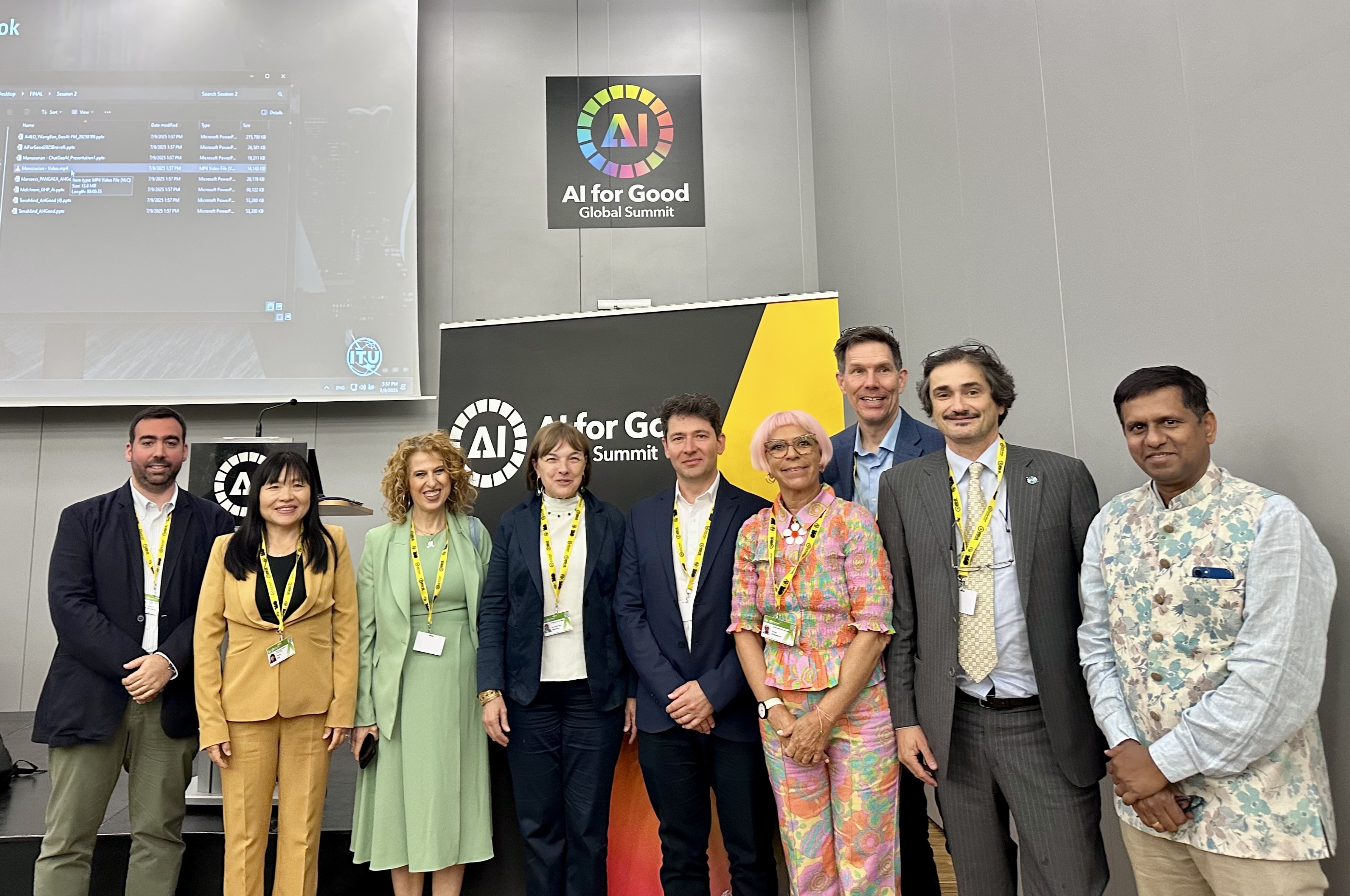
That was the message championed by the Group on Earth Observations at this year’s AI for Good Global Summit in Geneva. This built on last year’s narrative of Harnessing AI for Earth observations for all.
Several speakers from across the GEO community helped drive important conversations at the summit.
Mapping the human planet
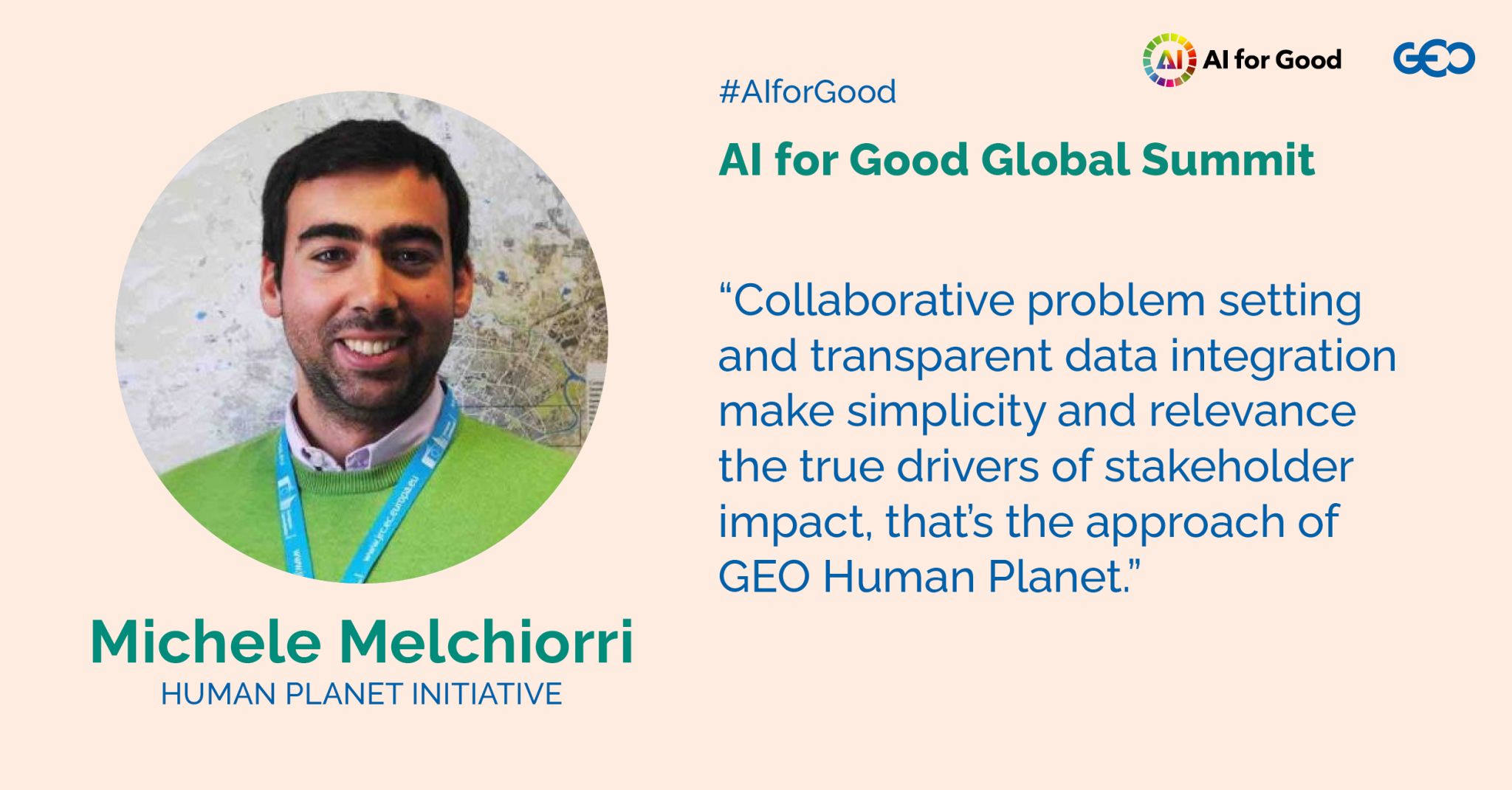
Michele Melchiorri, co-lead of GEO’s Human Planet Initiative (HPI), showed how the Global Human Settlement Layer team at the EU's Joint Research Centre turns satellite imagery into maps and data supporting policy.
These open and freely accessible maps do more than simply illustrate where people live. They reveal patterns of urbanisation and quantify the spread of infrastructure.
By turning data into clear, policy-ready information, we empower stakeholders to make decisions that improve resilience and sustainability of human settlements.
Foundation models for everyone
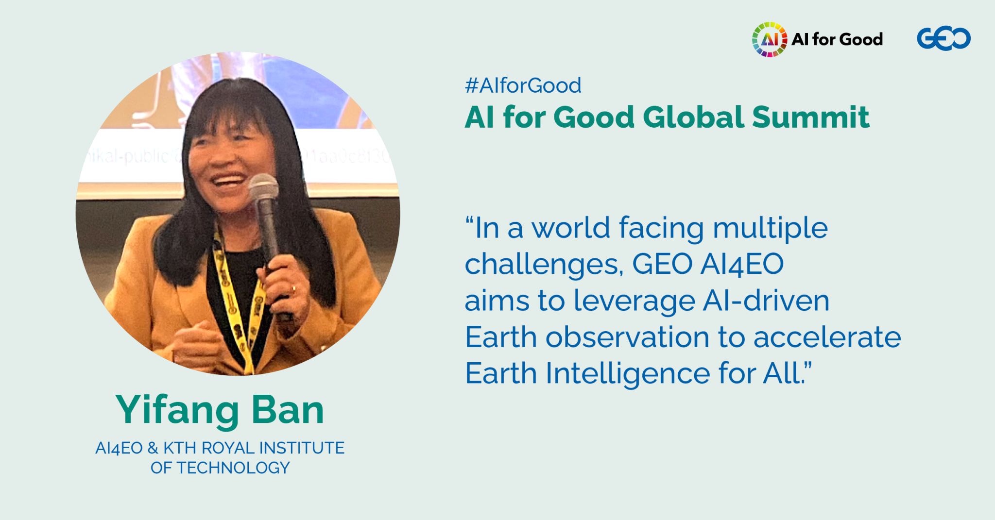
Yifang Ban, who leads GEO’s AI for Earth Observaions (AI4EO) Enabler, explained that “Earth intelligence for All” is about skills and access. She showed how foundational models – versatile AI systems trained on vast datasets – can support everything from urban mapping to wildfire monitoring.
Her vision is of a global community where anyone can tap into these models. To underline this, Valerio Marsocci, co-lead of an AI4EO task team, introduced PANGAEA, a benchmark for comparing geospatial models and exposing biases.
AI for Early Warnings for All
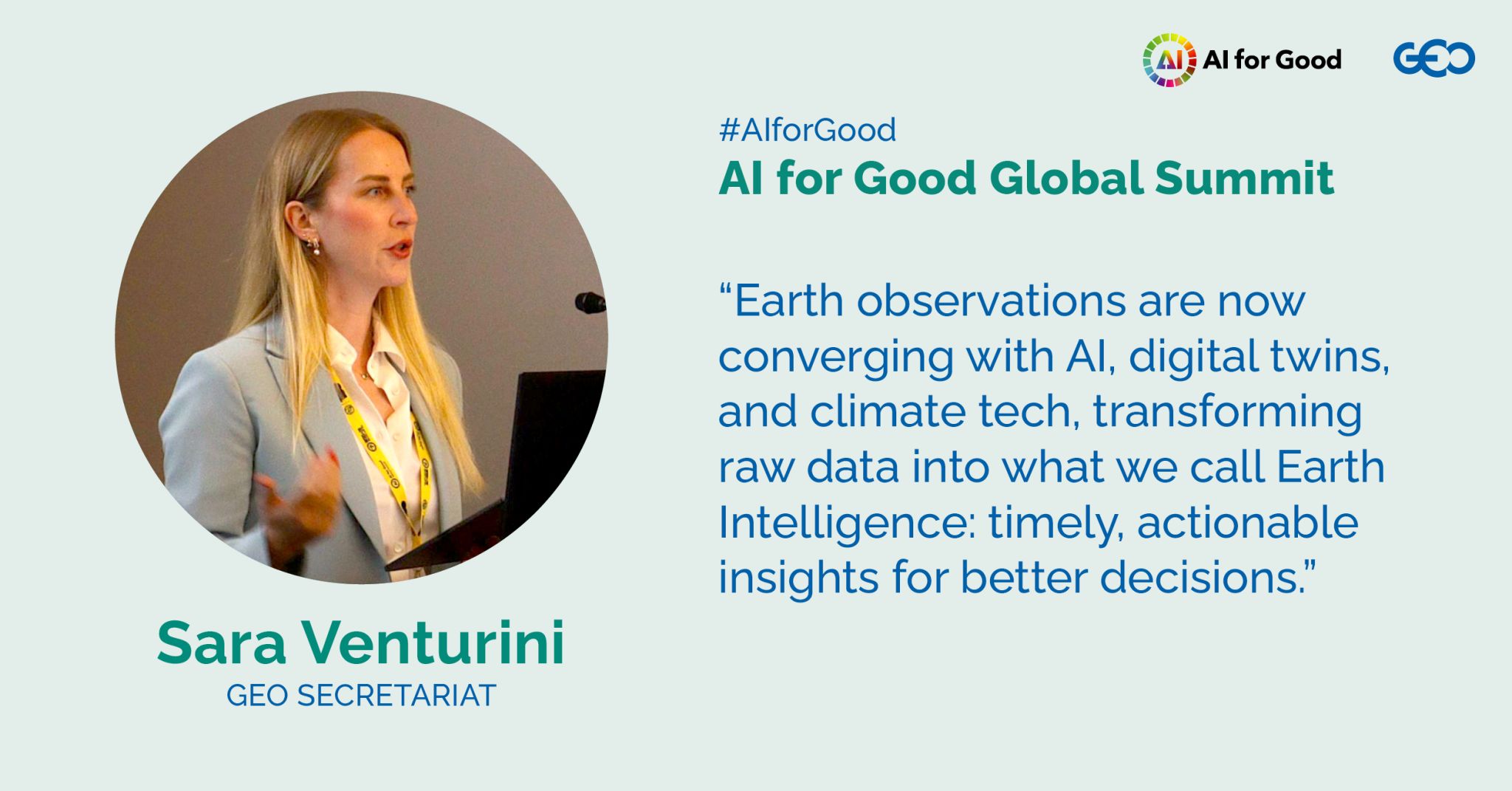
Sara Venturini, Chief of Member Services at the GEO Secretariat, emphasised why Earth intelligence solutions are not just valuable but indispensable to turning the vision of the Early Warnings for All initiative into reality and build climate resilience in the longer term.
She presented the GEO-led Global Heat Resilience Service, an emerging urban planning tool that integrates climate, satellite and neighbourhood-level data with AI to map heat risk and project changes.
Sara also spotlighted GEO’s joint policy brief with the UNFCCC Technology Executive Committee – “Realising Early Warnings for All” – which underscored the transformative potential of early warning technologies.
This brief influenced COP29 outcomes, where governments recognised the vital role of Earth observation-based systems, digital transformation, and open data-sharing in closing technology gaps and protecting vulnerable populations. (See blog on COP29 and SBSTA61 report for more information).
From data to decisions
Across the summit, the takeaway was simple: data alone won't solve problems; people do.
Michele’s maps, Yifang’s foundational models and Sara’s policy work show that AI and Earth observation big data must be paired with communities and policy.
Community-driven Earth intelligence can turn data into decisions – and decisions into impact.
The authors wish to thank Dr Andrea Manara, Dr Rosie McDonald, Dr Thomas Basikolo (ITU) and Prof Maria Antonia Brovelli (Politecnico di Milano), organisers of the AI for Good Global Summit and of the workshops on GeoAI and foundational models and Early Warnings for All (EW4All): bridging gaps, saving lives, for giving GEO the opportunity to contribute.