Driving innovation through Landsat's open data policy
Landsat, one of the longest-running Earth observation satellite programs, revolutionised data sharing with its bold move to an open-access policy in 2008. This decision drastically increased the availability and utilisation of geospatial data, illustrating the immense value of free and open data for economic, environmental and societal advancements.
Data sharing is revolutionising the way the world addresses global challenges, from disaster response to climate adaptation. By embracing open access and collaboration, organisations and initiatives worldwide are enabling innovative solutions that save lives, drive economic growth, and foster sustainable development.
“Open data policies, like the Landsat one, have transformed how we approach environmental monitoring and analyses. Studies, like the Australian Data Cube, can now be conducted over very large areas – continental and global scales – resulting in accessible and actionable results.”
Unleashing the power of open data
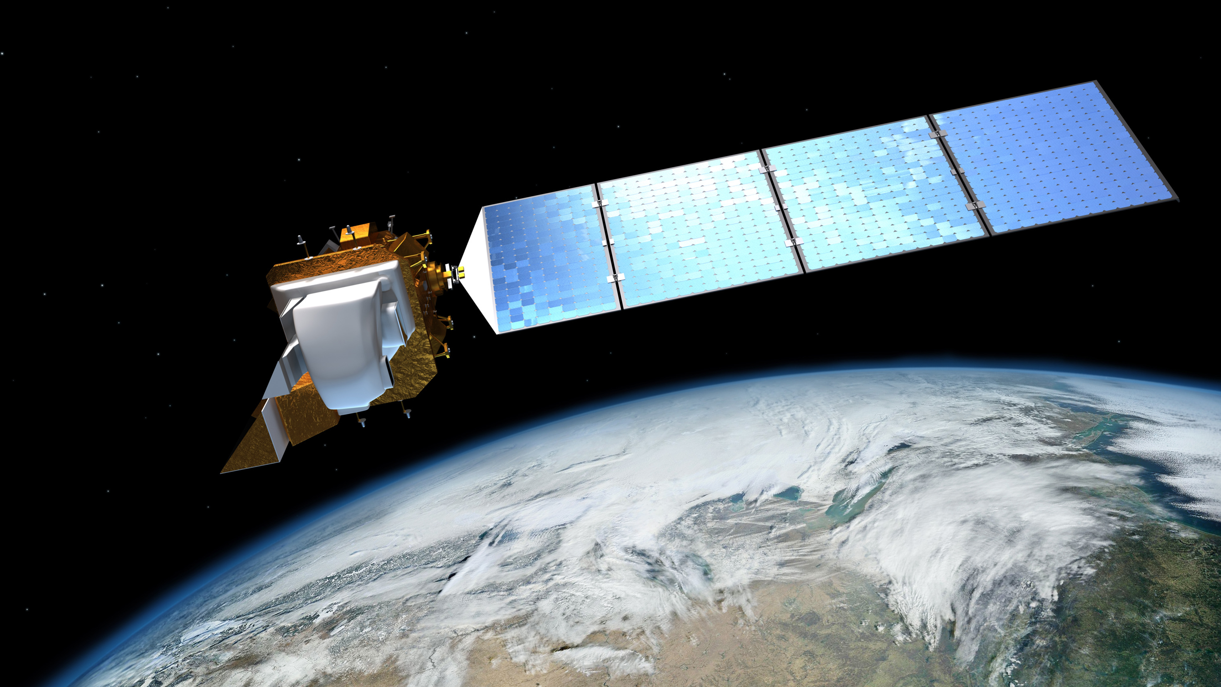
Landsat has been a cornerstone of global Earth observations since its inception in 1972. Its full impact, however, was limited by data costs, with prices reaching $4,500 per scene during the 1980’s when the commercial sector operated the satellite. In 2008, a paradigm shift occurred: the United States Geological Survey (USGS) transitioned to a free (meaning no additional cost to the user) and open data policy marking a turning point in geospatial data accessibility.
This decision was based on the recognition that the revenue generated – approximately $5 million annually – was predominantly money being exchanged between public institutions. It was projected that this recirculation was only a fraction of the potential economic and societal benefits attributed to Landsat.
The impact was immediate and profound. The daily download rate skyrocketed from 53 scenes to more than 5,700, and subsequent analyses (2011) revealed annual economic benefits of $1.7 billion in the United States alone.
A 2015 study highlighted that the economic value of just one year of Landsat data far exceeds the multi-year total cost of building, launching, and managing Landsat satellites and sensors. A later study (2024) estimated these benefits to be in the order of $25 billion annually, far exceeding the $5 million collected in data sales by the USGS. This policy shift also enabled transformative technological advancements, such as Australia’s water resource mapping, which analysed 300,000 Landsat scenes to monitor continental-scale water trends.
These achievements exemplify how open data drives innovation and supports global policy initiatives like the Paris Agreement and the UN Sustainable Development Goals (SDGs).
Through its advocacy and role in implementing open data policies, GEO has been instrumental in fostering broader access to Earth observation data, further emphasising the significance of initiatives like Landsat.
Making Landsat data openly available catalysed a global movement toward open-access Earth observation, unlocking unprecedented economic, scientific, and societal benefits. Data sharing is not just a technological advancement—it’s a global movement enabling collaboration, saving lives, and driving sustainable development.
For more information:
- GEO Data and Knowledge Working Group. (2025). Success story: Driving Innovation Through Landsat's Open Data Policy. GEO Knowledge Hub.
- EO Data Working Group (Group on Earth Observations (GEO)). (2022, September 12). Dialogue Series - Data sharing.